|
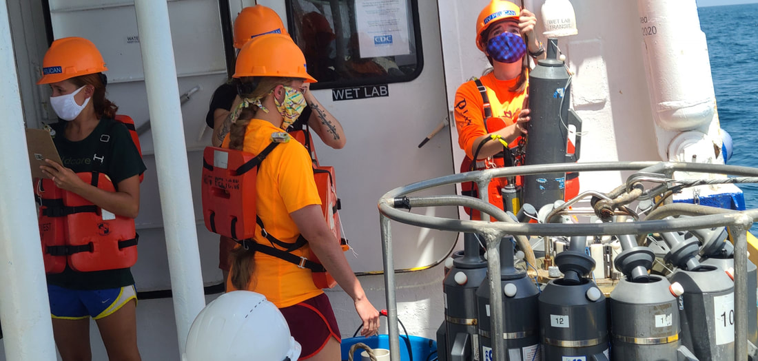
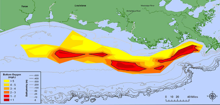
NOAA-supported scientists have determined this year’s Gulf of Mexico “dead zone”— an area of low to no oxygen that can kill fish and marine life — is approximately 2,116 square miles, or equivalent to 1.4 million acres of habitat potentially unavailable to fish and bottom species. The measured size of the dead zone is the third smallest in the 34-year record of surveys. The average hypoxic zone over the past five years is 5,408-square miles, which is 2.8 times larger than the 2035 target set by the Hypoxia Task Force. The size of the measured Dead Zone is much smaller than had been predicted. The forecast relies primarily on the Mississippi River discharge and nutrient runoff data from the U.S. Geological Survey. With elevated discharge and nutrient loading this spring, the models predicted a larger than average hypoxic zone to form during the time of the cruise. Instead, the mixing caused when Hurricane Hannah rolled through the northern Gulf caused the anoxic water to mix with the healthy Gulf water, reducing the Dead Zone to the smaller measured size. While this is good news for sea creatures in the Gulf in 2020, the long term prognosis continues to be grim. Here's a statement from a recent blog post by the Mississippi River Network:
"No one state on its own can solve the nutrient runoff problem in the Gulf of Mexico. Unfortunately, even with the state-by-state strategies ongoing, devastating Dead Zones and harmful algal blooms continue to be a problem year after year. The Mississippi River Network continues to advocate for increased support for state nutrient reduction strategies through meetings with state, federal, and agency staff. Thanks to River Citizens like you, this past month the 1 Mississippi program sent decision-makers a public petition with over 500 signatures urging Congress to fully-fund proven solutions to reduce nutrient pollution."
0 Comments
Leave a Reply. |
| LWV Upper Mississippi River Region | UMRR blog |


 RSS Feed