What is a watershed? According to the US Geologic Survey, a watershed is an area of land that drains all the streams and rainfall to a common outlet such as the outflow of a reservoir, mouth of a bay, or any point along a stream channel.
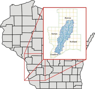
We all live in a watershed. This link can help you find yours. All watersheds are given a "HUC" or "hydrologic unit code", which is like a Zip Code that tells us where we are on the planet. All the watersheds in the Upper Mississippi River basin begin with the numbers "07". Watersheds for a large river feeding into the Mississippi, like the Wisconsin River, have four digits that identify their specific watershed. In this case the Wisconsin River is "0707" . Within that watershed, a small river will have four more digits - if you look at the the Kickapoo River is you will see that it is "07070006". This "eight-digit HUC" is key to beginning to understand your watershed!
We all live in a watershed. This link can help you find yours. All watersheds are given a "HUC" or "hydrologic unit code", which is like a Zip Code that tells us where we are on the planet. All the watersheds in the Upper Mississippi River basin begin with the numbers "07". Watersheds for a large river feeding into the Mississippi, like the Wisconsin River, have four digits that identify their specific watershed. In this case the Wisconsin River is "0707" . Within that watershed, a small river will have four more digits - if you look at the the Kickapoo River is you will see that it is "07070006". This "eight-digit HUC" is key to beginning to understand your watershed!
Click here for a map made by National Geographic showing all the rivers that contribute to the entire Mississippi River system.
Click here for a dandy video from the Weather Channel explaining the term "watershed".
Click here for a dandy video from the Weather Channel explaining the term "watershed".
Did you know that the UMRR is not the only LWV ILO organized around a watershed? Check out the LWV Lake Michigan Region ILO, at http://www.lwvlmr.org/.